How Dangerous Is Table Mountain? 2026 Incidents and 45 Years of Rescue Data
May 25, 2025

How dangerous is Table Mountain, really?
Two people died on Table Mountain in the first half of 2026. A wildfire brought down a firefighting helicopter, winter rain made the rock slippery, and on one night in June three people were rescued off the cliffs. This is a plain look at what actually puts hikers in danger here, set against 45 years of rescue records, and how to stay safe.
The short version
Table Mountain is a real wilderness wrapped around a big city. More than two million people visit each year, and a small but steady number need rescuing. The first half of 2026 followed the usual pattern, with two sharp exceptions.
- Two people died. An American wingsuit jumper at Platteklip Gorge on 5 January, and a hiker who fell from a rock face on 17 May, in full view of the cable car.
- A wildfire above Hout Bay in late March burned about 160 hectares and brought down a firefighting helicopter. The pilot survived.
- The danger follows the seasons. Heat on the front face in summer, then slippery rock and slips through the winter months of May and June.
- Crime was not the story this year. The park's crime map logged only a handful of offences in early 2026, after a security manager was appointed.
A mountain inside a city
Few big mountains sit this close to a city. You can reach the cable car by city bus. On a summer evening the summit is shared by tourists in sandals and rescue teams in helmets. That closeness is the whole appeal, and it is also the problem. A path that looks like a city park near the bottom turns into real mountain terrain higher up, where the weather, the drops and the lack of phone signal do not care how short the drive was.
The long record proves the point. A volunteer-run database, the South African Mountain Accidents log, holds more than 3,300 recorded incidents on the mountain over 45 years. The surprising lesson in those numbers is simple: trouble gathers on the easiest, busiest routes, not the hardest ones, because that is where people let their guard down.
What 2026 looked like
In the first 175 days of 2026, the recorded incidents fell into five clear types. Falls and slips came first, as they always do. Then lost or stranded hikers, then crime, then the fire and the helicopter crash it caused, and finally one death from an illegal jump. The chart below counts the notable incidents reported up to 24 June. It is a press and rescue-service tally, not the park's full internal log, so read it as a shape, not an exact census.
Read it plainly: this was a year of people getting hurt on their feet, not a year of people being attacked. Of the roughly seventeen notable incidents, almost all were falls, slips and stranded hikers. That matters for how you prepare. The thing most likely to ruin a Table Mountain day in 2026 was not a mugger. It was a smooth patch of wet rock under a tired foot late in the day.
The last few weeks
June is mid-winter in Cape Town, and the mountain shows it: shorter days, faster cloud, and rock that stays wet into the afternoon. The clearest example came on the night of Monday 22 June, when rescue teams ran two rope rescues within hours of each other.
High above Camps Bay, two rock climbers got stuck on Postern Buttress after bad weather forced them off their route. They were well prepared, but as they were being lowered their rope jammed and they could not move up or down. They called for help early, which let the team reach them in time. That rescue finished at 22:20.
While it was still going on, cable-car staff heard shouts near Tafelberg Road. A trail runner found a hiker stuck on a cliff above the Contour Path. He had left the path to look for water and become trapped. A second team roped him up and lowered him to safety, off the mountain by 21:00.
The winter pattern, in one night
Both 22 June rescues share a winter signature: capable people caught out by conditions and small choices, not by recklessness. One party was forced off a climb by weather. The other stepped off a marked path for water. That is exactly why winter catches experienced hikers too.
The two deaths of 2026
Two people died on or beside Table Mountain in the first half of 2026. Their stories could hardly be more different, and together they show the range of risk the mountain holds.
5 January: an illegal jump
Brendan Weinstein was a very experienced American wingsuit pilot. He died after a jump from near the summit ended in a crash onto the busy Platteklip Gorge trail. BASE jumping is illegal inside the park, which is protected ground and part of a World Heritage Site. This was not a hiking accident, but it still tied up a major rescue and recovery, and it showed how one person's risk pulls in dozens of responders.
17 May: an ordinary day that turned
The May death is the kind that worries regular hikers, because it looked so ordinary. A hiker fell from a rock face, seen by people on the cable car, and was found dead despite a fast response. The body was brought down using the cableway. It happened on an evening when teams were already stretched across several incidents at once, a reminder that even a large volunteer service has limits.
What fatal falls have in common
Across the long record, deaths cluster near photo ledges and exposed edges, often at dusk when crowds bottleneck and the light goes flat. The single most protective habit is dull but it works: step back from edges, do not pose on the lip, and turn around if the wind picks up or the light fades.
Fire and a helicopter crash
The most dramatic event of the half-year was not a hiking accident at all. A fire broke out on the slopes above Hout Bay just before 2pm on Tuesday 24 March. Overnight the wind pushed it up the ridge, and by Wednesday it had reached the top of Vlakkenberg, spreading between Hout Bay and Constantia Nek. About 70 SANParks firefighters worked the fire line, with help from the air, though low cloud and strong wind kept getting in the way.
Then, on the evening of 25 March, a firefighting helicopter flown by Kishugu Aviation seemed to clip the mountain with its rotor and crashed above Oakwood Estate. A fire instantly became a rescue. The pilot, described as very experienced, walked away. The Civil Aviation Authority opened an investigation into wind, visibility and turbulence near the rock face.
Fire is a normal part of this fynbos landscape, not a freak event, and the park even burns some areas on purpose. What March showed is how fast a routine seasonal fire can turn into a multi-agency emergency that puts the responders themselves at risk. For hikers the lesson is simple: when SANParks closes a trail for fire, it is not red tape. It is keeping you away from low-flying aircraft and a moving wall of flame.
2026, month by month
The year told through its turning points. Green is a good outcome, amber a serious but non-fatal incident, red a death.
Wingsuit jumper killed at Platteklip Gorge
American Brendan Weinstein died after a wingsuit jump ended in a crash. BASE jumping is illegal in the park. The body was recovered by air.
Slip on Lion's Head
A 28-year-old woman slipped on a loose, sandy part of the descent. Rangers and volunteers treated and carried her down, finishing at 13:29.
Armed robbery on The Glen trail
A couple were confronted by armed men, assaulted and robbed. The suspects fled towards Kloofnek. Both victims got medical help and opened a police case.
Two heat-wave rescues in one afternoon
During a heat-wave warning, a 50-year-old Scottish visitor fell descending Lion's Head, and a second hiker needed help on Kloof Corner Ridge. Both were carried down.
Vlakkenberg fire and helicopter crash
A wildfire above Hout Bay burned about 160 hectares. A firefighting helicopter clipped the mountain and crashed. The pilot survived; trails were closed.
A well-prepared group does it right
After a member was hurt near Fountain Ledge, the group stopped, assessed and called for help rather than pushing on. Everyone was off the mountain by 17:11.
Two foreign hikers rescued after heavy rain
A Brazilian visitor slipped near the Lion's Head summit; a Dutch hiker hurt a leg in Silvermine. Both were airlifted. Teams warned that wet trails had become much more dangerous.
Fatal fall, seen from the cable car
On one Sunday evening teams handled three incidents. A hiker fell from a rock face and was found dead; the body was recovered using the cableway. A woman hurt an ankle on Platteklip, and a trail runner was injured nearby.
Two rope rescues in one night
Two climbers were freed from Postern Buttress above Camps Bay after their rope jammed, and a hiker who left the path looking for water was lowered from a cliff above the Contour Path. All three came down safely.
45 years of rescues
The 2026 numbers make more sense against the full record. The South African Mountain Accidents log has tracked incidents here since 1980, with the help of volunteer rescue teams. It is built for spotting patterns rather than exact counts, so treat the figures as trends. The patterns are remarkably steady, and they explain why this year looked the way it did.
Where trouble gathers
If you want to guess where the next call will come from, follow the foot traffic, not the difficulty. The database scores each area by how often it needs a rescue, weighted by how serious those rescues are. The two highest scorers are also two of the easiest routes on the mountain.
Lion's Head tops the list because of narrow gravel paths, photo ledges and heavy sunset crowds, a mix that has produced 25 deaths and nearly 20 serious injuries over the decades. Platteklip Gorge is close behind, driven not by tricky ground but by heat and crowding on its long, exposed stone staircase. Skeleton Gorge comes third, with two faces: an easy forest walk when dry, and a slick trap of wooden ladders and stone slabs after rain.
| # | Area | Danger score |
|---|---|---|
| 1 | Lion's Head | 1,530 |
| 2 | Platteklip Gorge | 1,380 |
| 3 | Skeleton Gorge | 910 |
| 4 | India Venster | 780 |
| 5 | Africa Ledge | 620 |
| 6 | Second Waterfall Ravine | 590 |
| 7 | Kasteelspoort | 440 |
| 8 | Devil's Peak Saddle | 390 |
Danger score combines how often an area needs a rescue with how serious those rescues are. Source: South African Mountain Accidents log.
Who gets hurt
The records hold limited personal detail, but the same patterns repeat across four decades. Most people who need help are visitors rather than regular local hikers. Solo walkers show up far more often in evening and winter call-outs. The common thread is underestimating how long a route takes, and how much the heat takes out of you.
Most common profile
Visitors and occasional hikers, rather than regular locals.
Solo vs group
Solo hikers are over-represented after 3pm and in winter.
Main age range
20s to 40s, which is most of the foot traffic.
Recurring factor
Underestimating time, distance and heat.
Four patterns in the data
Four themes run through the records, each with a clear takeaway.
Heat and water
Most "minor" calls on Platteklip come down to tiredness and dehydration on exposed steps, especially from mid-morning in summer.
Start early. Carry at least two litres each.
Edges and photos
Lion's Head incidents cluster near popular photo spots at dusk, where crowds bunch up on narrow ledges and the light goes flat.
Step back from edges. Turn around if the wind rises.
Rain changes the route
Skeleton Gorge has two faces. Dry, it is friendly. Wet, more than six in a hundred call-outs there end in death, as ladders and slabs turn slick.
Pick a different route in the wet.
Remoteness matters
Quiet ravines like Second Waterfall show higher death rates simply because help takes far longer to arrive. A sprain becomes an ordeal.
Go in a group. Carry a headlamp and a charged phone.

How the risk has changed over time
The number of incidents has never been steady. It moves with tourism, technology and the small things the park does to keep people safe.
The cable car pulls in more people
As the cableway grew popular again, Platteklip, the direct walking route, got much busier, and heat-related calls rose with it.
Social media and the sunset rush
Photos drove crowds to Lion's Head at sunset. Evening crowding came with more edge-related incidents as people lingered for the light.
The pandemic dip
Lockdowns cut activity sharply, and the data shows a clear drop. Numbers bounced back quickly once international tourism returned.
Small fixes start to show
Ranger posts, trailhead weather boards and fixed winch anchors line up with modest but steady falls in after-dark calls and rescue times.
When the mountain is most dangerous
Most rescues happen when the conditions turn an ordinary mistake into a serious one. Three windows carry the most risk.
Summer, midday
Heat builds fast on exposed stone like Platteklip, where the rock can run ten degrees hotter than the air. In February 2026, a heat-wave weekend saw two hikers pulled off Lion's Head and Kloof Corner Ridge within hours. An early start is the fix.
Winter, after rain
Slabs and wooden ladders on Skeleton Gorge turn slick, and an easy forest walk becomes technical. The gorge can stay risky for a day or more after the last rain. On 1 May, two foreign hikers were airlifted after slips on wet ground.
Late afternoon, 3 to 6pm
The classic window for misjudged timing. Cloud builds on the plateau, the light fades, and the "tablecloth" can roll in within minutes, cutting visibility and confusing hikers on the flat top.
How a rescue works
A response usually starts with a phone call, a location pin and a team on foot. Helicopters cut the time sharply when wind and visibility allow. When they do not, carrying someone out over rock steps can take hours. Where you get into trouble matters almost as much as how, because the distance from a road changes everything.
The contrast is striking. Lion's Head sits close to the road, so help arrives in about 23 minutes and only one call in eight needs a helicopter. Skeleton Gorge, deep on the back of the mountain, can take 45 minutes to reach and needs an airlift more than a quarter of the time. A sprained ankle that is a nuisance on Lion's Head can become an overnight ordeal in a remote ravine.
The most useful fact about rescue here
It is free. Wilderness Search and Rescue is run by volunteers, and the hiker is never charged. That matters, because the most dangerous instinct is to delay the call to avoid an imagined bill. Call early, on 021 937 0300, or 112 from any phone, including foreign SIMs. The best rescue is the one that stays small.
How risky is each route?
Rather than give the whole mountain one number, it is fairer to rate the main routes and activities on a 1 to 10 scale, where 10 is the highest risk for a typical visitor. These scores blend how exposed the ground is, how fast help can reach you, and the 2026 record. Wet weather pushes several of them up by a point or two.
Lion's Head
The busiest rescue zone. Exposed ledges, dusk crowds and a history of muggings. Close to help, but the sheer traffic keeps it high.
Platteklip Gorge
Well marked and not technical, so it is hard to get lost. The real risk is heat. Manageable with an early start and two litres of water.
Skeleton Gorge
Fine when dry, genuinely risky when wet, with slick ladders and a slow evacuation. Rises to 8 out of 10 after winter rain.
India Venster and scrambles
Exposed scrambling that needs real route-finding. People stray onto it from easier paths and get stuck. For confident, prepared hikers only.
Remote back-table ravines
Africa Ledge, Second Waterfall Ravine and the like. Technical ground, rockfall and very slow rescue. Severe simply because help is far away.
BASE jumping and wingsuiting
Illegal in the park, and the cause of one of this year's two deaths. No margin for error, and it endangers hikers below.
How to stay safe
None of this should put you off the mountain. Almost all of the two million yearly visitors come down with nothing worse than sore legs. The difference between a great day and a rescue is rarely luck. It is timing, water and judgement.
Start early
Aim to be walking by 7am in summer. It cuts heat, crowds and the chance of coming down in the dark, when most falls happen.
Carry two litres
There is no reliable water on most routes. In May and June, do not chase water by leaving the path, which is what stranded a hiker on 22 June.
Wear grippy shoes
Trail shoes with deep tread matter on wet rock and loose sand. Running shoes and sandals show up again and again in the reports.
Pack a headlamp
Phone torches drain the battery and light poorly. A headlamp buys you time if cloud or the clock catches you out.
Watch the cloud
The "tablecloth" can arrive in minutes, hiding the path and confusing hikers on the flat summit. If it rolls in, turn around.
Do not hike alone
Groups of four or more are safest. Solo walkers are over-represented in evening and winter call-outs. Tell someone your route and turnaround time.
Because of the mountain's history of trail robbery, it also pays to hike at busy times on popular routes, keep phones and valuables out of sight near known hotspots on Lion's Head and Signal Hill, and join a local mountain-safety group. The single most useful thing, though, is to save the right emergency number before you leave.
Save these before you hike
What is being done
The data points to a quiet truth: small, targeted fixes pay off out of all proportion to their cost. Weather and sunset boards at trailheads have been followed by fewer after-dark calls. Sunset ranger posts on Lion's Head line up with fewer edge incidents. Fixed winch anchors installed in 2023 cut some rescues by about twenty minutes. None of it is glamorous, and all of it works.
Colour-coded permits
ProposedThe 2025 to 2030 park plan floats tiered access: free on easy green routes like Platteklip, a small fee on orange routes like India Venster, and guide-only access on the hardest red traverses. The fee, around R35 (about 1.80 euros), would fund a rescue store at the top station.
QR check-in at trailheads
PilotingScan a code to send your route and turnaround time to a dashboard the city can check if you go quiet. Quick and easy, if people actually use it.
Exoskeleton trials
New, May 2026Rescue teams announced a trial of wearable exoskeletons to ease the brutal load of carrying people out over rock. Early days, but aimed at a real bottleneck.
Lion's Head Jeep Track works
Apr to Jun 2026The busiest approach closed for maintenance from 20 April to around 20 June, with the summit still reachable by other trails. The work aims to make the route safer.
The bottom line
The first half of 2026 was, on balance, a normal half-year for a mountain that absorbs two million visitors and a few thousand quiet near-misses. Two deaths, one of them from an illegal jump, both tragic and both well outside the experience of an ordinary hiker. A frightening fire that hurt no walkers but nearly cost a pilot his life. And a long run of falls and stranded hikers that bent, as it always does, from summer heat towards winter wet.
How to read this, depending on who you are
First-time visitor: Take Platteklip or the cable car, start early, carry two litres of water, and treat the summit weather as serious even on a clear morning. Save 021 937 0300.
Regular hiker: Your risk window is winter wet and late-day light, not crime. Respect Skeleton Gorge and any scramble after rain, never leave the path for water, and turn back when the cloud drops.
Trail runner or climber: Carry a headlamp and a charged phone, log your route, and call early. June showed that even strong, well-prepared parties get caught by jammed gear and fading light. The system is free and fast, so use it.
In short
Common questions
Two, between 1 January and 24 June 2026: a wingsuit jumper at Platteklip Gorge on 5 January, and a hiker who fell from a rock face on 17 May. BASE jumping is illegal in the park.
Yes, for a prepared hiker on the right route at the right time. The main 2026 risk is falls and slips, much higher in winter wet, not crime. Pick a marked route, wear grippy shoes, carry water and a headlamp, do not hike alone, and turn back if cloud or rain arrives.
No. Wilderness Search and Rescue is run by volunteers and there is no charge to the person rescued. Call 021 937 0300, or 112 from any phone, the moment you need help. Waiting to avoid an imagined bill is the most common and most dangerous mistake.
Lion's Head, by a clear margin, then Platteklip Gorge. Both are among the easiest routes, which is exactly why people underestimate them. Most calls are about heat, tiredness and slips, not technical climbing.
Not on the 2026 numbers. After a security manager was appointed, the park crime map logged only a handful of offences early in the year, continuing a fall from the 2023 peak. Robbery is still a real tail risk on Lion's Head, Signal Hill and remote routes, so basic care still applies.
Rescue and incident reporting
- Wilderness Search and Rescue (WSAR) Western Cape statements, January to June 2026
- South African National Parks (SANParks) news and notices, sanparks.org
- Arrive Alive incident bulletins
- The Citizen, IOL, Daily Maverick, EWN, Cape Town Etc, Cape Town Today
Data and analysis
- South African Mountain Accidents log (SAMA), 1980 to 2025
- Cape Town Data Platteklip Gorge route guide
- Table Mountain National Park 2025 to 2030 management plan (permit proposals)
- South African Weather Service heat-wave advisories
More on Cape Town Data
This article is for general information only and covers incidents and data reported up to 24 June 2026. Conditions on Table Mountain change fast and without warning. The safety ratings are editorial judgements based on the data, not guarantees. Always check current trail closures, weather and official SANParks advice before you set out, and rely on official emergency services in any incident. Cape Town Data accepts no liability for decisions made on the basis of this content. Last updated 25 June 2026.
More in Safety Playbooks & Tools
You May Also Like
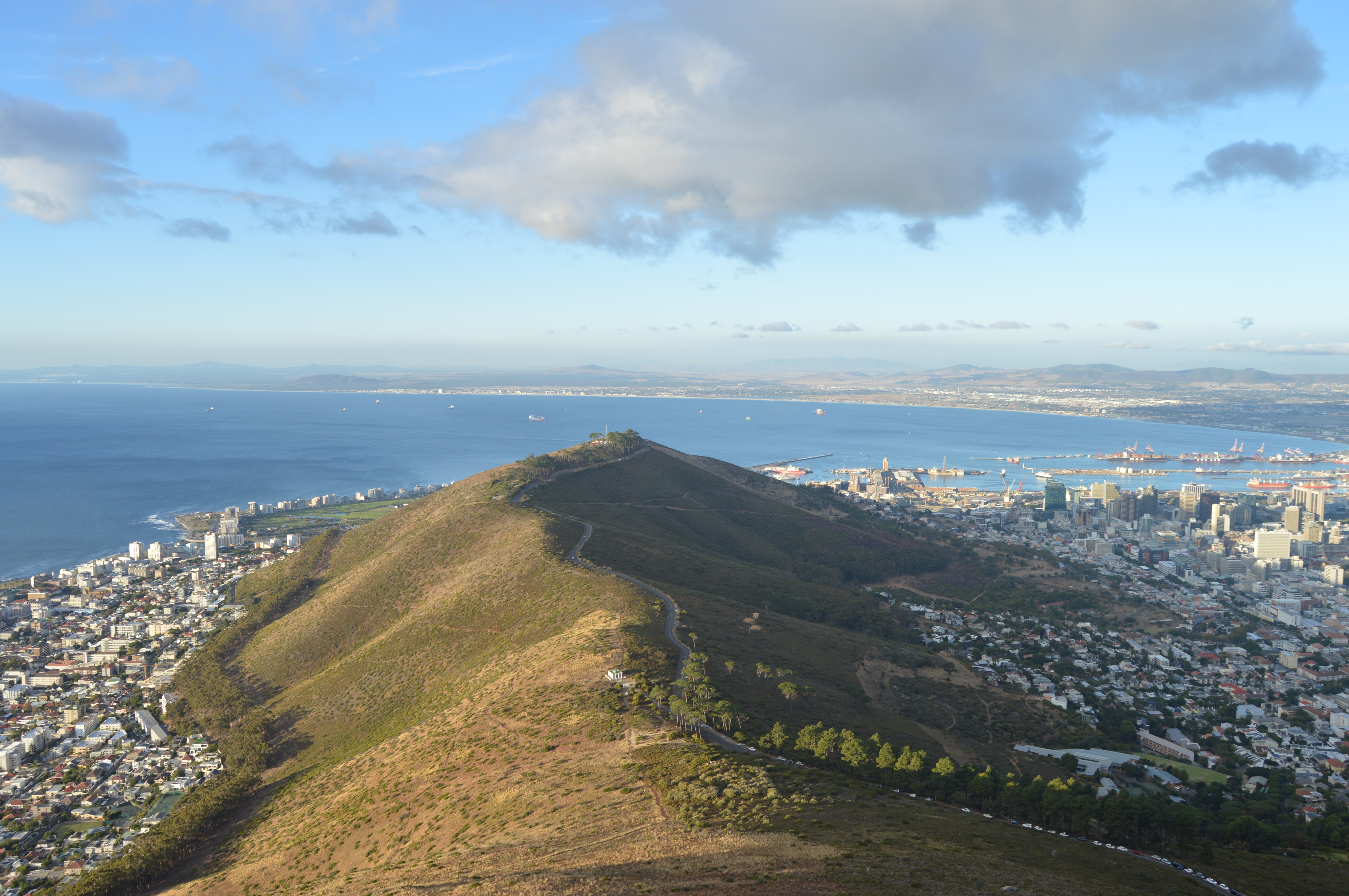
How safe is Clifton?
Photo courtesy of Warren Rohner, Wikimedia Commons, licensed under CC BY-SA 2.0 Atlantic Seaboard · Cape Town Is It Safe to Live in Clifton ,…
Read Article
Is Claremont Safe?
Cape Town Data · Safety Series Is Claremont Safe? A Data-Driven 2026 Guide Claremont is the commercial heart of Cape Town's southern suburbs, leafy on…
Read Article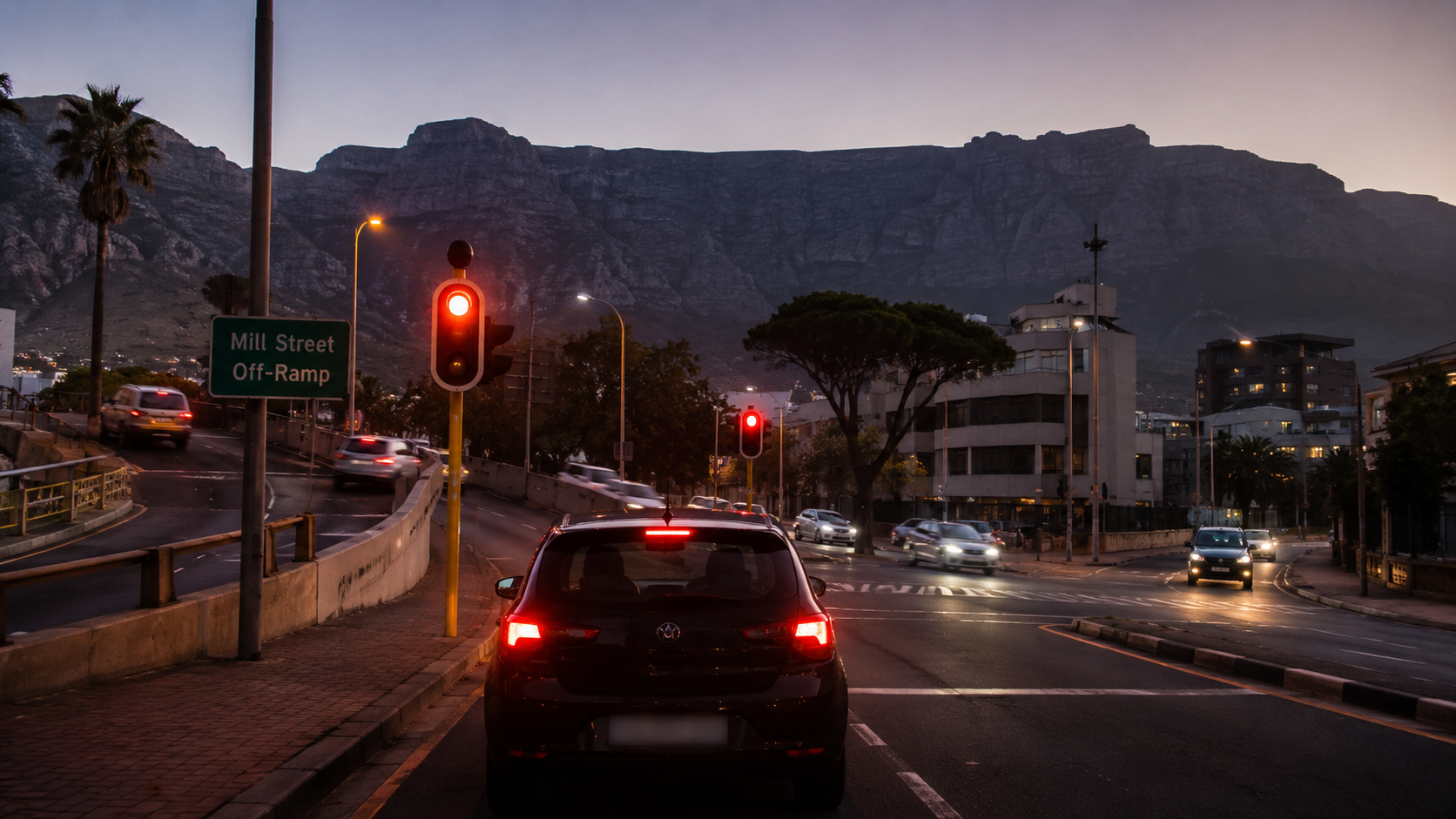
Crime Hotspot Cape Town: Garden Center Off ramp after dark
Cape Town crime hotspots · Gardens · capetowndata.com The Mill Street Off-Ramp at Gardens Centre: the Cape Town crime hotspot you should know about Pay…
Read Article
Is It Safe to Live in Constantia, Cape Town?
Photo courtesy of Zaian, Wikimedia Commons, licensed under CC BY-SA 3.0 Southern Suburbs · Cape Town Is It Safe to Live in Constantia , Cape…
Read Article
Is It Safe to Stay in Bloubergstrand, Cape Town? 2026 Safety Evaluation
Photo courtesy of Wikimedia Commons contributor, licensed under CC BY 3.0 Western Seaboard · Cape Town Is It Safe to Stay in Bloubergstrand, Cape Town?…
Read Article