Exploring Llandudno Beach and the Shipwreck Trail
June 11, 2025
Table of Contents
- Introduction
- 1. Llandudno at a Glance
- 2. The Shipwreck Trail (Oude Skip)
- 3. Sandy Bay – Cape Town’s Iconic Nude Beach
- 4. Best Time to Visit
- 5. Safety & Preparation Checklist
- 6. How It Compares to Platteklip Gorge
- 7. Nearby Hikes & Hout Bay Eats
- 8. Why Everyone Loves This Out-and-Back
- 9. Practical FAQs
- 10. The Bottom Line
- 11. Quick-Reference Cheat Sheet
Introduction
Ask long-time Cape Town locals to name their favourite hidden-in-plain-sight spot and many will point you beyond Camps Bay, down the twisty M6, to where the road suddenly threads between mountain and sea. Here a crescent of white sand, guarded by hulking granite boulders, whispers of wild Atlantic mornings and salt-spray afternoons: **Llandudno Beach**. A few steps away, a contour path slips around Karbonkelberg toward a rust-stained hull – the remains of the *Harvest Capella* – turning an ordinary beach day into a cliff-edge adventure. This guide blends practical tips (current for 2024-2025) with first-hand storytelling so that both Capetonians and first-time visitors can tackle the hike, brave the icy surf, and still make it to Hout Bay for fish-and-chips by sunset. ---1. Llandudno at a Glance
* **Where?** 12 km south of Camps Bay, 5 km north of Hout Bay, reached via Victoria Road (M6). * **Name Origin:** “Llandudno” honours the Welsh seaside town; the Welsh means *Parish of Saint Tudno*. * **Look & Feel:** No shops, cafés, or streetlights – just upscale homes tucked into fynbos slopes. Property prices here rank among South Africa’s highest, and the only “commerce” is the ice-cream vendor who appears on hot Sundays. * **Residents:** Predominantly affluent families and professionals (many foreign second-home owners). Demographic surveys peg the suburb at ±80 % white, median household income well over R 1 million per year. * **Beach vibe:** Surfers chase heavy left-hand breaks; photographers stalk golden-hour light; everyone else marvels at the granite amphitheatre and turquoise water (summer ≈ 19 °C, winter ≈ 15 °C). Swimming is possible but currents and cold demand caution. ### The Allure Because Llandudno sits inside Table Mountain NP land, commercial development never took hold. Result: spotless sand, crystalline water, and near-silence apart from wind and waves. Early mornings, you may share the shoreline only with kelp gulls and a wetsuited longboarder. Yet the real magic starts once you leave the sand… ---2. The Shipwreck Trail (Oude Skip)
### Quick Facts | **Start point** | Small parking lot, top of Eustegia Way, Hout Bay | |-----------------|--------------------------------------------------| | **Distance** | 4 km return to *Harvest Capella* (≈ 2 h)9–10 km return if you wander further | | **Difficulty** | Moderate: mostly contour walking; last 200 m is a steep, loose scramble | | **Family-friendly?** | Yes for fit kids 10 + as far as the lookout; younger children should turn back before the scramble | | **Highlights** | Panoramic cliff views, a 40-m sand dune, seals & seabirds, rusting ship hull at low tide | | **Navigation** | No way-markers; offline map recommended (cell signal patchy) | ### Route Description 1. **Trailhead** – Park at Eustegia Way’s cul-de-sac. Cross the small gate into TMNP land. Immediately you’ll crest a lunar-white sand dune – kids often “sand-board” here on cardboard lids. 2. **Contour Path** – A clear single-track traverses the mountainside westward, 80–120 m above the ocean. To your right: granite‐clad Sentinel Peak; to your left: endless Atlantic blue. 3. **Look-out Rock (2 km)** – The wreck appears below on a wave-washed reef. Many hikers picnic here, then return. 4. **Scramble to the Wreck** – Follow cairns downhill; the slope is dusty with loose pebbles. Time your arrival for *low tide* so the reef is exposed. The *Harvest Capella*’s ribs jut skyward like a rust-red fossil – photographers’ heaven. 5. **Return** – Retrace steps or, if experienced, press on toward the Bos 400 wreck (adds 3-4 h of rugged boulder-hopping; not recommended for casual hikers). > **Trail flavour:** Imagine switching from beach stroll to cliff-top balcony to rugged coastal scramble – all inside one half-day. ---
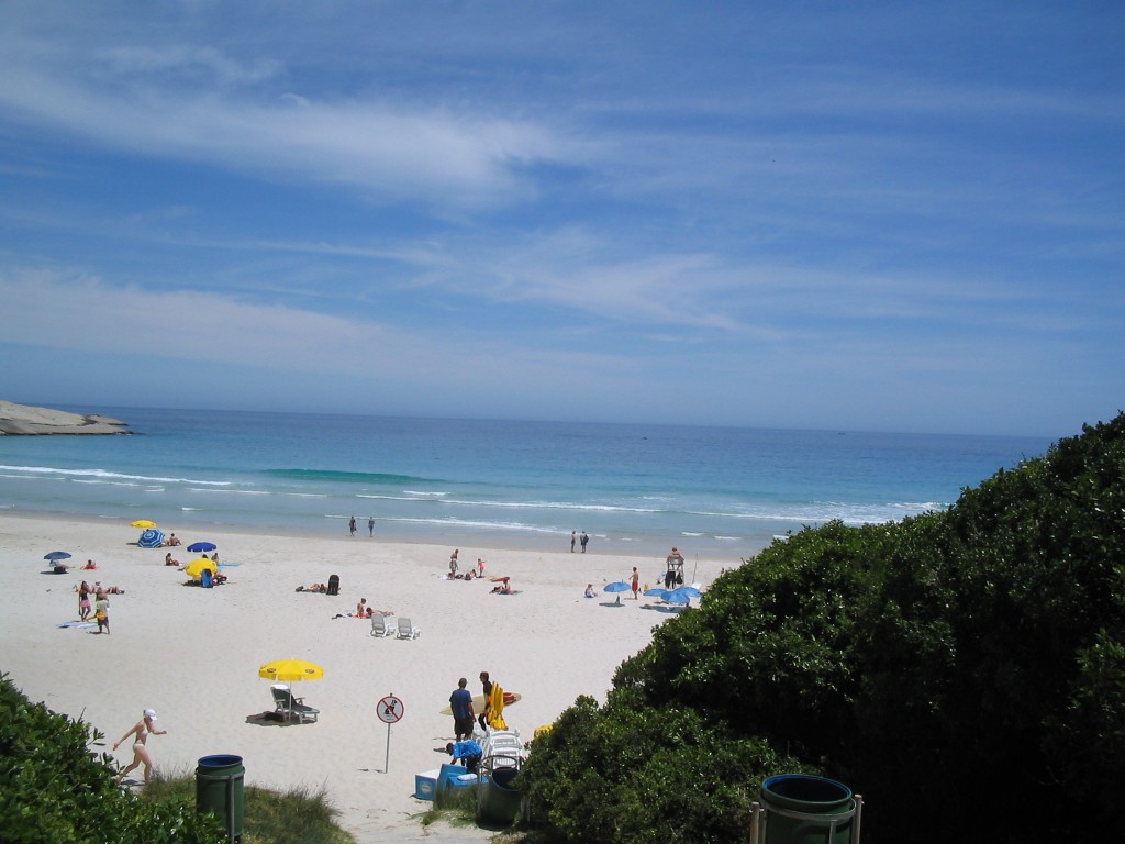
3. Sandy Bay – Cape Town’s Iconic Nude Beach
Continue south another 10 minutes and you’ll drop onto **Sandy Bay**, the only official clothing-optional beach in the Western Cape. Locals treat nudity here as no big deal: bring a towel, respect personal space, no photos. The bay curves beneath copper-green fynbos hills, wave-polished boulders providing natural privacy screens.4. Best Time to Visit
| **Season** | **Weather** | **Pros** | **Watch-outs** | |------------|-------------|----------|----------------| | **Summer** (Dec–Feb) | Sunny, 25–30 °C, strong SE wind after noon | Long days, warmest sea, best sunsets | Start early (before 9 AM) to dodge heat & parking chaos | | **Autumn** (Mar–May) | Calmer winds, golden light, ± 22 °C | Fewer crowds, clear air | Cooler water, occasional cold fronts | | **Winter** (Jun–Aug) | 14–18 °C, rainy fronts | Dramatic skies, whale season, uncrowded trails | Slippery rocks, swell can cut off reef, shorter daylight | | **Spring** (Sep–Nov) | Wildflowers, 18–24 °C | Mild temps, fresh fynbos scents | Unpredictable wind / rain swings | **Time-of-day rule:** Aim to leave the trailhead by sunrise. Light is soft, winds are calm, and you’ll likely score a parking bay. By 11 AM the Cape Doctor often howls up the gullies. ---5. Safety & Preparation Checklist
1. **Water:** Minimum 2 L pp (no sources en route). 2. **Footwear:** Grip-soled hikers or trail runners. 3. **Sun Defence:** Factor 30 +, wide-brim hat, sunglasses. 4. **Layering:** Light fleece + wind shell (yes, even midsummer). 5. **Navigation:** Offline GPX or screenshot (cell reception intermittent). 6. **Tide Table:** Low tide ± 0.6 m or lower for safe reef access. 7. **Group Up:** Two + people is safer; isolated incidents of theft have been reported in past years. 8. **No Facilities:** Carry all litter out; nearest toilets are back in Hout Bay. 9. **Kids:** 11 + can manage full route; < 10 yrs turn at lookout. Hold hands on scramble. 10. **Emergency:** Call TMNP (021 957 4700) or NSRI (112) – but signal may require climbing back up the slope. ---6. How It Compares to Platteklip Gorge
| | **Oude Skip / Shipwreck** | **Platteklip Gorge (Table Mountain)** | |---|---|---| | **Views** | Ocean & coastal cliffs | City bowl & Table Bay | | **Crowds** | Low – you’ll meet runners & dog walkers | Very high – Cape Town’s busiest hike | | **Elevation Gain** | Negligible (< 150 m) | ± 700 m vertical staircase | | **Technical** | One steep scree scramble | Continuous stone steps | | **Duration** | 2 h return (to first wreck) | 2–3 h upward only | | **Kids** | Moderate for 10 + | Steep but safe staircase, popular school outing | | **Wow-factor** | Rusting ship hull, sand dune, nudist beach | Summit plateau & cable-car descent | **Verdict:** Platteklip is tougher on the lungs but straightforward; Oude Skip is easier fitness-wise yet spicier underfoot and infinitely more secluded. ---7. Nearby Hikes & Hout Bay Eats
* **Little Lion’s Head** – 30-min steep push to a picnic bench with 360° bay views. * **Chapman’s Peak Trail** – From the toll booth, a 40-min stair-step to a high pass and floral extravaganza. * **Karbonkelberg Traverse** – Serious 7-h epic linking all three wrecks to Hout Bay harbour. **Post-hike hunger?** | **Spot** | **What to Order** | |----------|------------------| | *Mariner’s Wharf* (harbour) | Beer-battered hake & chips, harbour-side tables | | *Baked in Bakoven* | Double-cheese smash burger, flat-white, ocean view | | *Bay Harbour Market* (Fri–Sun) | Craft gin slush, Thai stir-fry, live music vibes | ---8. Why Everyone Loves This Out-and-Back
*Pristine wilderness feeling* mere minutes from luxury suburbs. *Family-friendly novelty* – where else can kids sand-sled, spot seals, and picnic beside century-old iron ribs in one outing? *Photographer’s dream* – golden ridges at dawn, teal sea below, rust textures up close. *Dual-beach culture* – mainstream Llandudno on one flank, free-spirited Sandy Bay on the other. *Zero urban noise:* no cafés, radios, or vendors beyond the occasional ice-cream bell.9. Practical FAQs
**Q: Can I do the hike in flip-flops?** Technically, yes for the contour section – but you’ll struggle on the loose downhill to the wreck. Pack real trail shoes; you’ll thank us later. **Q: Is the trail dog-friendly?** Yes, if your pooch is agile and leashed. Table Mountain NP requires a MyActivity permit (R340/yr or R50/day). Remember drinking water for the dog – there are no streams. **Q: Is there cell coverage?** Patchy. Vodacom & MTN fade after the sand dune. Download offline maps; treat the trail as if you’ll have no signal. **Q: Is the wreck safe to climb?** No. The superstructure is corroded and sharp. View, photograph, but do **not** enter or scramble onto the hull – collapsing metal has injured visitors before. **Q: Toilets?** None on route. Use facilities in Hout Bay beforehand. ---10. The Bottom Line
> *“Every now and then a walk reminds you Cape Town is a city at the edge of wilderness.”* The Llandudno–Sandy Bay–Oude Skip combo is that reminder. One minute you’re cruising past millionaire villas with flat whites; twenty minutes later you’re crunching over fynbos, wind whipping sea-spray into a rust-red ship carcass while whales breach offshore. It’s Cape Town distilled – rugged, glamorous, quietly rebellious (clothing optional, anyone?) and impossibly scenic. Whether you’re a local itching for a half-day micro-adventure or an international visitor eager to step beyond the usual Table Mountain circuit, carve out a morning for this trail. Pack water, slap on sunscreen, start at dawn, linger at the wreck, maybe skinny-dip at Sandy Bay, then refuel on harbour-front hake and chips. Your Instagram feed – and your soul – will thank you. ---11. Quick-Reference Cheat Sheet
| | **Details** | |---|---| | **Trailhead** | Top of Eustegia Way, Hout Bay *(GPS -34.0343, 18.3498)* | | **Parking** | ± 20 bays – arrive before 08 h 00 in summer | | **Distance / Time** | 4 km return ≈ 2 h (first wreck)9–10 km return ≈ 3–4 h (extended wander) | | **Grade** | Moderate – mostly flat contour; one steep scramble | | **Kids** | Yes for 10 + with supervision; turn back at lookout if younger | | **Permits / Fees** | Free; TMNP MyActivity permit for dogs | | **Essentials** | 2 L water pp • hat & SPF 30+ • sturdy shoes • offline map • snack/lunch • camera | | **Best Season** | Summer dawns (Dec–Feb) for weather • Winter (Jun–Aug) for whales | | **Highlights** | White-sand beach • giant dune • nude beach • rusted shipwreck • seals & seabirds • ocean vistas | | **Post-hike Eats** | Mariner’s Wharf fish-and-chips • Bay Harbour Market street food • Baked in Bakoven burgers |
More in Beach Area Guides
You May Also Like

Where are Cape Town's Safest Tidal Pools & Swimming Spots?
🌊 Safe Swim Guide 2026 Cape Town Tidal Pools & Safer Swimming Cape Town’s coastline is dramatic, powerful, and (when you plan it right) unbelievably…
Read Article
What are Best & Safest Tidal Pools in and around Cape Town (with map)?
Cape Town Tidal Pools – Best & Safest Ocean Swimming • Family-Friendly • Practical Safety The best and safest tidal pools in and around Cape…
Read Article
Explore this hidden gem: Cecilia Forest hike
Southern Afrotemperate forest in Cecilia Forest, Cape Town. Photo by Abu Shawka, via Wikimedia Commons , licensed under CC BY-SA 3.0 . South Africa •…
Read Article
Silvermine Panorama Circuit: The Most Underrated Hike Above Cape Town
Photo: Dr Tina Koziol Powered by Wikiloc Cape Town • Table Mountain National Park • Hiking Guide Silvermine Panorama Circuit: The Most Underrated Hike Above…
Read Article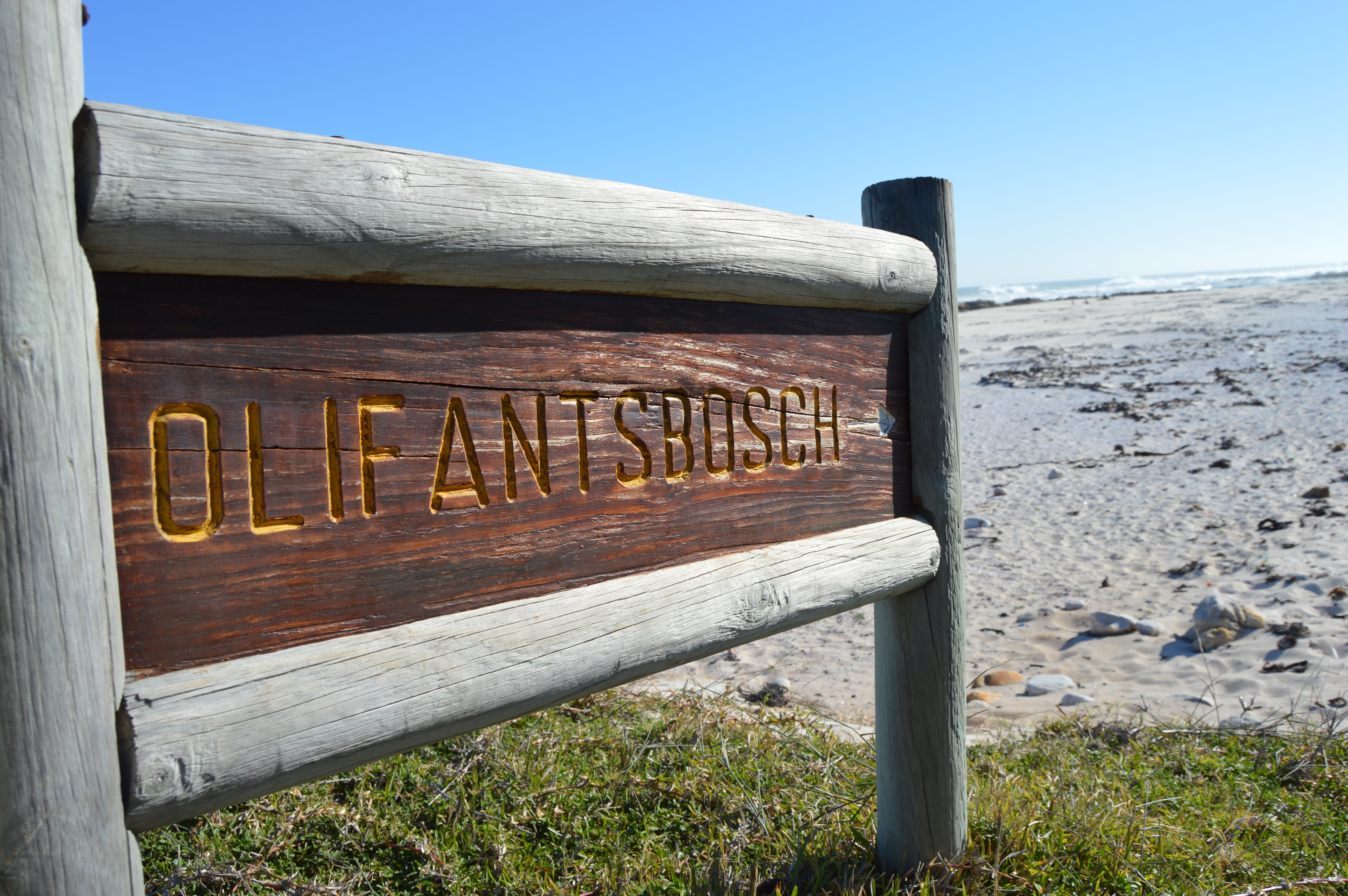
Olifantsbos: Explore the Shipwreck Hiking Trail (Cape Point)
Photo courtesy of Dr Tina Koziol Cape Point • Nature & History Explore the Shipwreck Hiking Trail at Olifantsbos (Cape Point) A short coastal hike…
Read Article